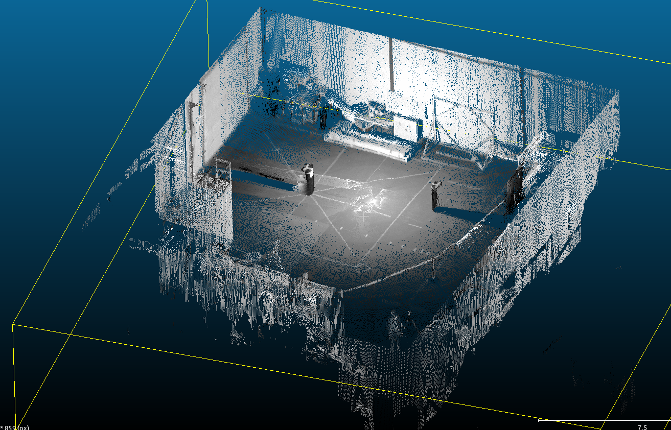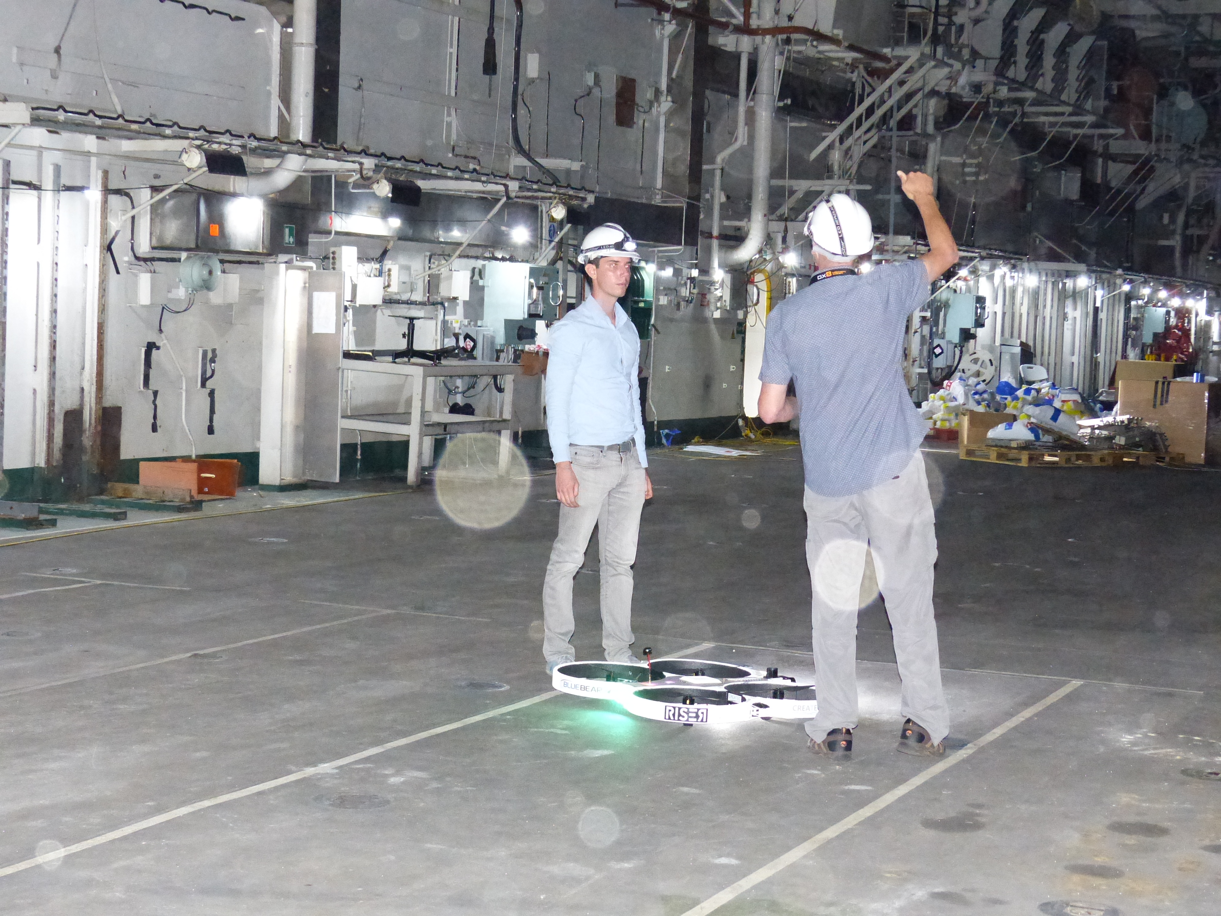

RISER enable’s UAV’s to go places and perform tasks not possible with existing systems. Always aware of what is around it so can safely and accurately navigate without GPS, external cameras, markers or infrastructure, RISER is able to scan and detect weather (and general) damage.
In 2012, the consortium of Blue Bear Systems Research Ltd and Createc Ltd developed an airborne, mobile robot solution called ‘Remote Intelligent Survey Equipment for Radiation’ (RISER).
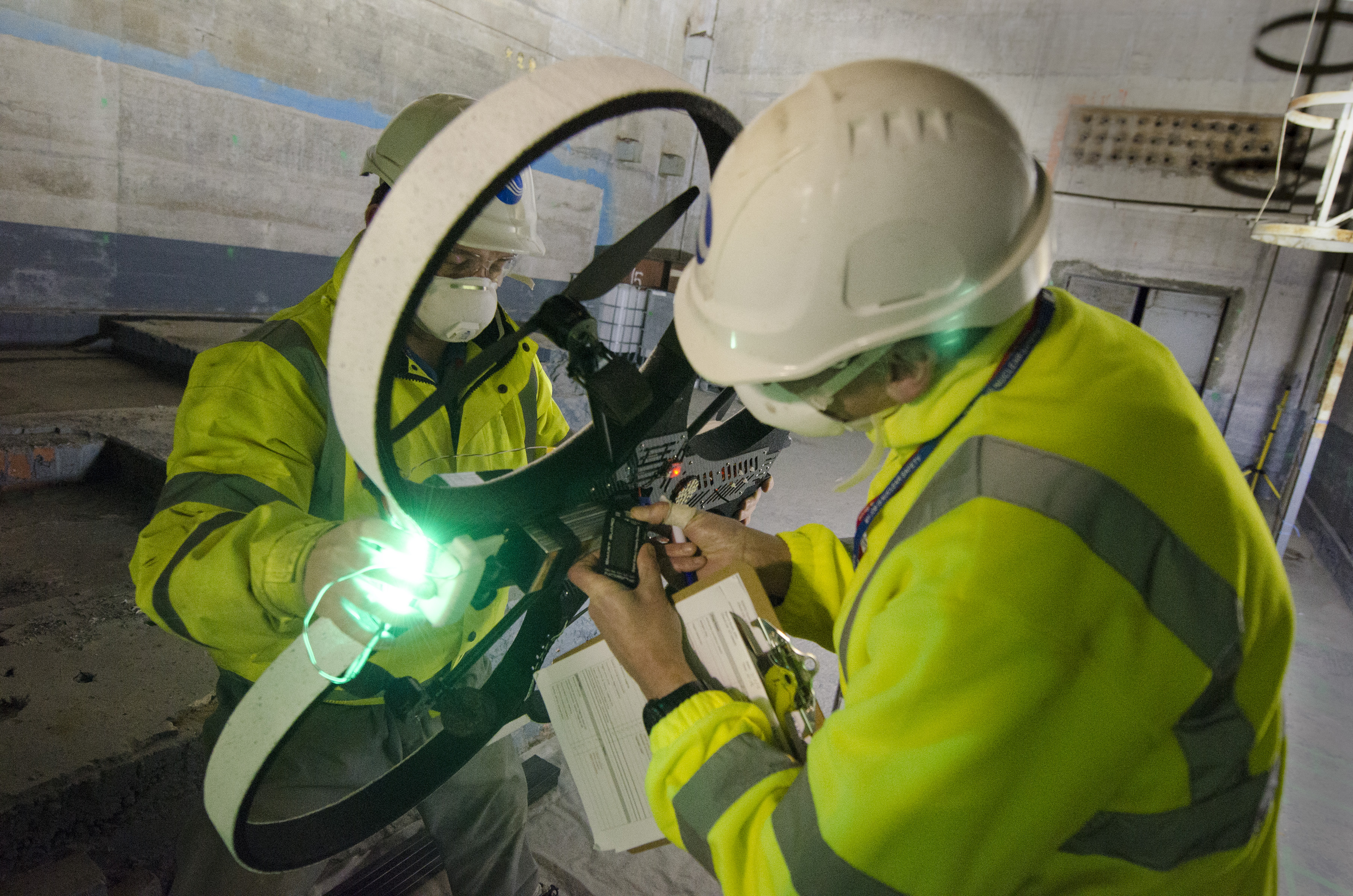
The system combines a miniature rotary Unmanned Aerial System (UAS) with novel radiation detection and mapping software to address the problem of access, while improving speed and accuracy of surveys and minimising radiation dose to employees.
Funded by the Innovate UK (formerly known as the Technology Strategy Board), RISER was designed, developed and tested over a nine month period, coming to fruition with a successful live demonstration at the National Physics Laboratory (NPL).
RISER is also able to demonstrate that it can be used in hazardous environments by detecting radiation via its 3D mapping system and sensors.
Features
Navigate without GPS
Multi sensor capability
Maps radiation distribution
Remote Operation
Benefits
Use anywhere
Adaptable
Identifies hazards
Keeps operators safe